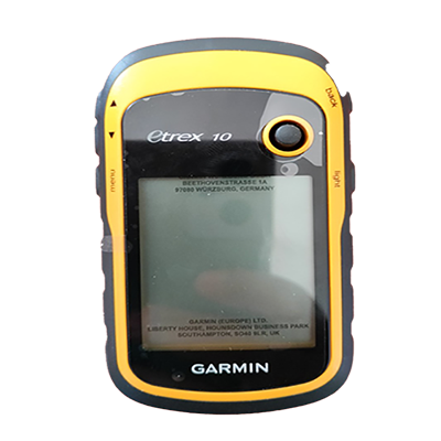
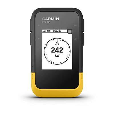
Garmin eTrex® 22x Rugged Handheld GPS Navigator
Brand: Others
Category: Surveying Instruments
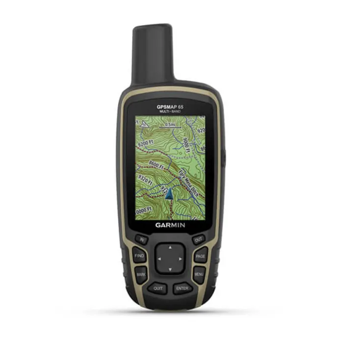
The Garmin eTrex 22x handheld devices come preloaded with road-routable TopoActive maps for outdoor activities that feature streets and trails so you can take the journey off the grid. Now you can know your surroundings — such as waterways, natural features as well as buildings, international boundaries and more. You can also find thousands of points of interests, including shops, restaurants, universities, car parks and accommodations.
- 2.2” sunlight-readable color display with 240 x 320 display pixels for improved readability
- Preloaded with TopoActive maps with routable roads and trails for cycling and hiking
- Support for GPS and GLONASS satellite systems allows for tracking in more challenging environments than GPS alone
- 8 GB of internal memory plus a microSD™ card slot
- eTrex 32x adds a 3-axis compass and barometric altimeter
- Battery life: up to 25 hours in GPS mode with 2 AA batteries
| Lens Material | acrylic |
| Dimension | 2.1" x 4.0" x 1.3" (5.4 x 10.3 x 3.3 cm) |
| Weight | 5 oz (141.7 g) with batteries |
| Water rating | IPX7 |
| Display Type | 2.2" transflective, 65K color TFT |
| Display Size | 1.4" x 1.7" (3.5 x 4.4 cm); 2.2" diag (5.6 cm) |
| Display resolution | 240 x 320 pixels |
| Battery type | 2 AA batteries (not included); NiMH or Lithium recommended |
| Battery life | 25 hours |
| Memory/History | 8 GB |
| Interface | mini USB |
| Maps & Memory | |
| Preloaded maps | yes (TopoActive; routable) |
| Ability to add maps | Yes (via microSD card) |
| Basemap | ✓ |
| Automatic routing (turn by turn routing on roads) for outdoor activities | ✓ |
| Map segments | 3000 |
| Includes detailed hydrographic features (coastlines, lake/river shorelines, wetlands and perennial and seasonal streams) | ✓ |
| Includes searchable points of interests (parks, campgrounds, scenic lookouts and picnic sites) | ✓ |
| Displays national, state and local parks, forests, and wilderness areas | ✓ |
| External memory storage | yes (32 GB max microSD™ card) |
| Waypoints/favorites/locations | 2000 |
| Tracks | 200 |
| Navigation Track Log | 10000 points, 200 saved tracks |
| Navigation Routes | 200 routes, 250 points per route; 50 points auto routing |
| Sensors | |
| GPS | ✓ |
| GLONASS | ✓ |
| High-sensitivity receiver | ✓ |
| GPS compass (while moving) | ✓ |
| Outdoor Recreation | |
| Point-to-point navigation | ✓ |
| Area calculation | ✓ |
| Fish forecast | ✓ |
| Sun and moon information | ✓ |
| Geocaching-friendly | Yes (Paperless) |
| Custom maps compatible | yes (100 custom map tiles) |
| Picture viewer | ✓ |


.png)



.jpg)
.jpg)
.jpg)


.jpeg)




.jpeg)